Rupert Parker gets away from the beaches and golf courses, hiking in the Algarve’s unknown interior.
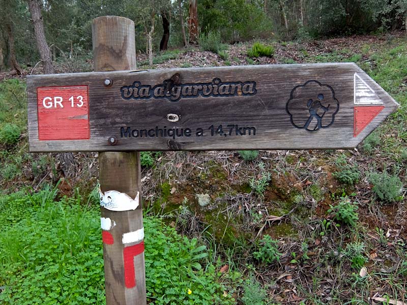
The Algarve is often thought of as a summer destination, sun and sand on offer everywhere, but it’s well worth exploring in the winter months. These are the times when the sea is not so enticing, the beaches are deserted yet the climate is positively balmy. It makes for ideal hiking in the Algarve, particularly in the interior where the land begins to rise, cork forests replacing golf courses and the climate becoming cooler and moister. And there’s even a long-distance trail, the Via Algarviana or GR13.
It runs from East to West, for about 300km, starting at Alcoutim on the border with Spain and ending up at the Atlantic. To do the whole lot takes around 14 days and there are many side trails to explore. At the end of the 10th stage, Monchique has just added five new walks, two connected to the Via Algarviana and three shorter routes so it’s time to explore.
I arrive for my hiking in the Algarve in the town from a sunny coast to find it shrouded in mist with frequent rain showers. Fortunately, my first walk on the PR7 MCQ, Percurso das Hortas or Vegetable Garden Path, is only 8km so I can tackle that before a hearty lunch.
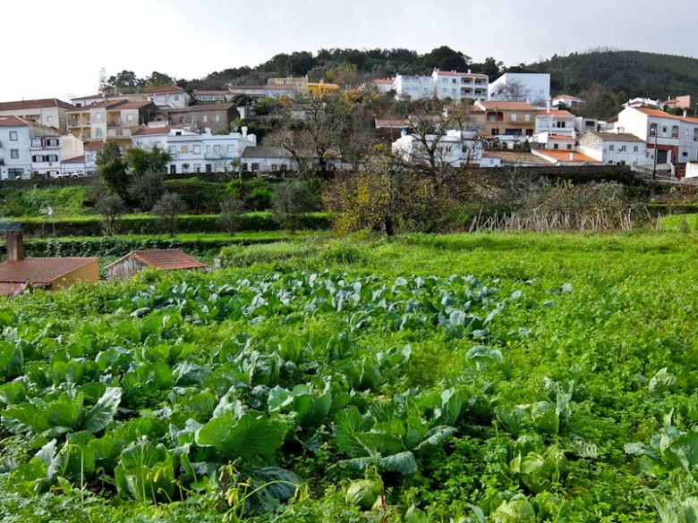
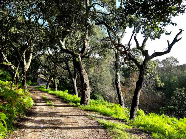
The path leads downhill out of the town and crosses vegetable gardens – in December there’s only cabbage. Still, the orange trees are full of fruit and later I pick tree strawberries, the ones they use to make the local “medronho” fire water.
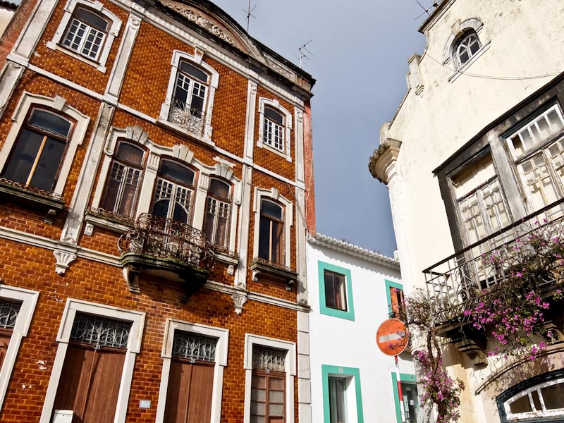
Above the fields are forests of old oak trees, their bark stripped for cork, one of the main industries here. When the cloud clears there are tantalising views down the valley to the coast and above, at 750m, the Picota hill dominates the town. I’m taking a circular route and back on the outskirts there’s an outdoor communal laundry, still in use. I re-enter the town through the delightful old quarter, all narrow streets, tiled walls and pastel-painted houses. The traditional restaurant A Charette is a welcome respite from the rain.
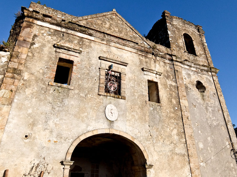
Next day, the sun is out, fortunate as I’m going to tackle 15km of the Via Algarviana Section 11. I start by climbing through the narrow streets of the old town towards the Nossa Senhora do Desterro Convent. This has long been abandoned but is now being refurbished by the local council. The path crosses a copious oak forest before taking a paved road to the summit of Mt Fóia, the highest point of the Algarve at 902m. Judging by the cafes and gift shops here, this is a coach tripper’s delight but today it’s completely quiet.
From here it’s downhill through a valley lined with abandoned terraces and ruined farmhouses. This was once a thriving agricultural area but these days life is easier working in tourism. The route leads past the small mountain villages of Vale da Moita, Barbelote and Porta da Horta before arriving at Madrinha, a location for wind turbines.
Abundant oak forests lead to the village of Marmelete, where there’s a museum dedicated to the production of “medronho”. Tree strawberries are abundant in the region, so they just collect the fruit and distil it. I get to sample the raw spirit and a milder version mixed with honey, before settling for another copious lunch at A Tasco do Petrol.
Running north to south is another Portuguese long-distance route, the Rota Vicentina, with one path, the Fishermen’s Trail, hugging the coast. It starts in Alentejo, to the North, then enters the Algarve and goes down past Cabo de S. Vicente and finishes in Lagos. Unlike the Via Algarviana, this has rugged cliffs, secluded bays and ruined fortresses, with the foaming Atlantic a constant companion. When I walked this last time, the most spectacular section was shrouded in cloud, so it’s time to revisit.
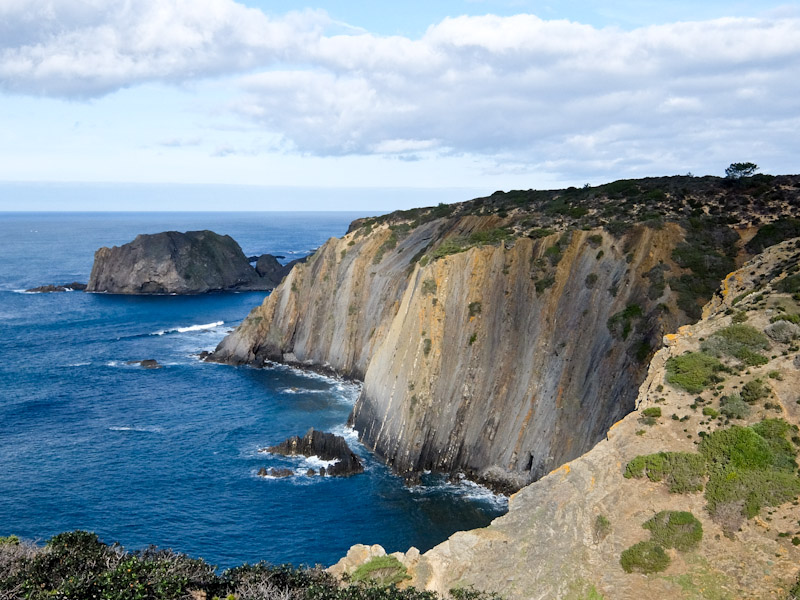
I start my next train hiking in the Algarve at the headland overlooking Praia do Amoreira, surfers already out in the bay. The sun is shining, unlike before when I battled through a fierce Atlantic storm. Tall cliffs overlook the sea before I drop down to the long beach at Monte Clérigo, with a cluster of fishermen’s houses. It’s an attractive spot, not unlike the far west of Cornwall.
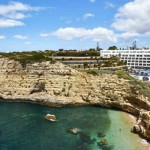
The path climbs back on the cliffs to the ruins of the Arrifana Ribat, an Islamic fortress built by warrior monks in the 12th century. It’s wild country, perfect for spiritual contemplation whilst guarding the coast. After this, the main trail diverts inland, but I follow a more difficult path by the sea, tricky in bad weather. Overlooking Arrifana beach is another fort, my final destination. It was built in 1635 by the Portuguese but an earthquake in 1722 sent half of it into the sea.
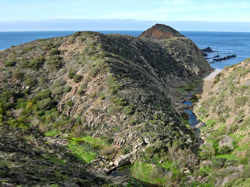
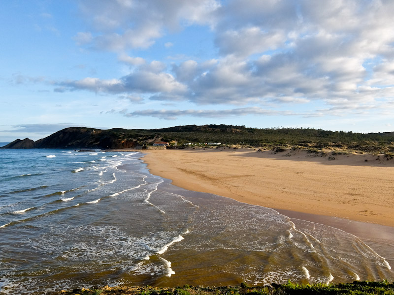
This is a magnificent spot and fortunately has an excellent seafood restaurant, O Paulo. I can imagine it gets crowded in the summer but on a Sunday it’s mainly locals eating here. I must say that the Algarve out of season is something of a discovery and the hills and forests of the interior are rewarding to explore on foot. Tiny villages have restaurants serving good local food plus olive oil made nearby and wine from the region. I vow to come to hiking in the Algarve back and walk the entire Via Algarviana.
Tell Me More About Hiking In The Algarve.
EasyJet flies direct to Faro from various UK airports.
Via Algarviana has details of all the walking routes.
Rota Vicentina has details of all the stages of the Fishermen’s Trail.
Visit Algarve has information about hiking in the Algarve and on the region.
Visit Portugal has information about the country as well as hiking in the Algarve
Francisco Simões, from Algarvian Roots, is a knowledgeable guide to the area.
Villa Termal das Caldas de Monchique is a spa resort just outside town.
The Hotel Vicentina, in Aljezur, is right on the Fishermen’s Trail.
Hotel Faro is near the old centre and has a good restaurant.
Restaurante A Charrete serves hearty traditional food in Monchique.
A Tasco do Petrol, just outside Marmalette, is popular with locals.
O Paulo is an excellent seafood restaurant perched on the cliff overlooking Arrifana.

